Table of Contents
Maps
Most people across the face of Gaeleth will never see a map in their lifetimes. Those that do would likely see only bird's eye views of their own local villages or fiefdoms. Sometimes, though, a master cartographer or a king will possess maps that show the whole of the known world. Often such maps are inaccurate or out-of-date, but their mere existence is a wondrous thing, indeed.
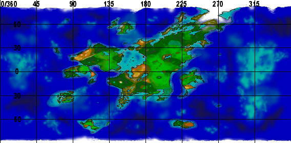
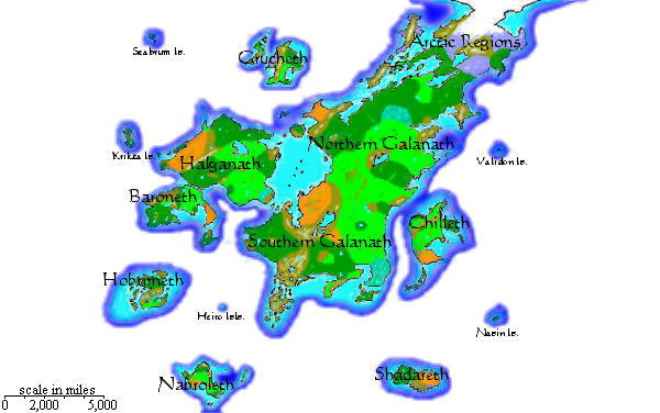
Below are satellite-equivalent maps of Gaeleth with Mercator rendering, cloud-cover reduced. The maps should help with shoal and water-based campaigns. Grid alignments use 0 degrees lattitude based off 90-normalized from Rakore, primary map-maker. (Currently non-interactive.)
The globes below were built with GIMP 2.2. “If my calculations are correct,” then the earth globe shown is to scale with the Gaeleth globes pictured above. At 0 degrees longitude on Gaeleth, each 45 degrees is about 4,100 miles.
Gaeleth
Continent Maps
Braven – Gaeleth pre-Storm Wars, circa 700 Avard.


